What Wairiri does
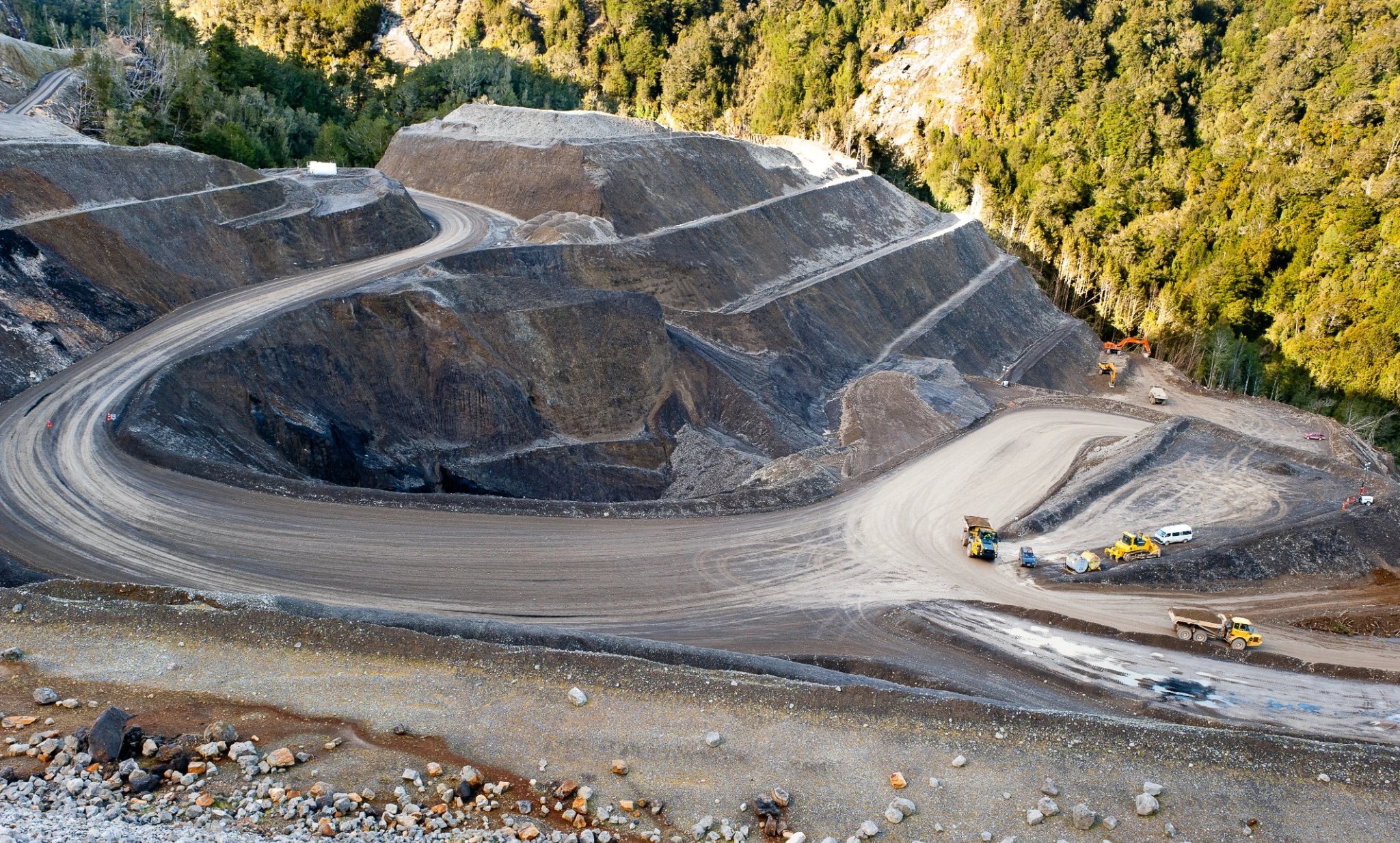
From first geological idea to an operating mine
Wairiri connects the geological, field, data, permitting and development work needed to move a project forward—from a workable exploration programme through geological models, resource definition, feasibility and consenting.
01Project generation, historical research & evaluation
Archival and technical research, geological review, opportunity screening, tenure assessment and a clear strategy for testing an early-stage idea.
02Permitting & workable programmes
Prospecting, exploration and mining permit applications, staged work programmes, budgets, supporting evidence and regulator responses.
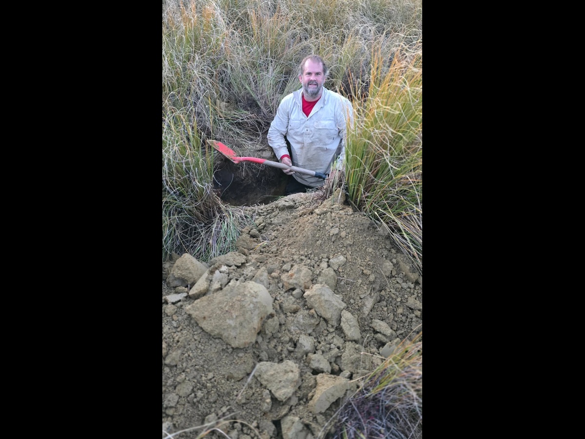
03Field exploration, sampling & survey
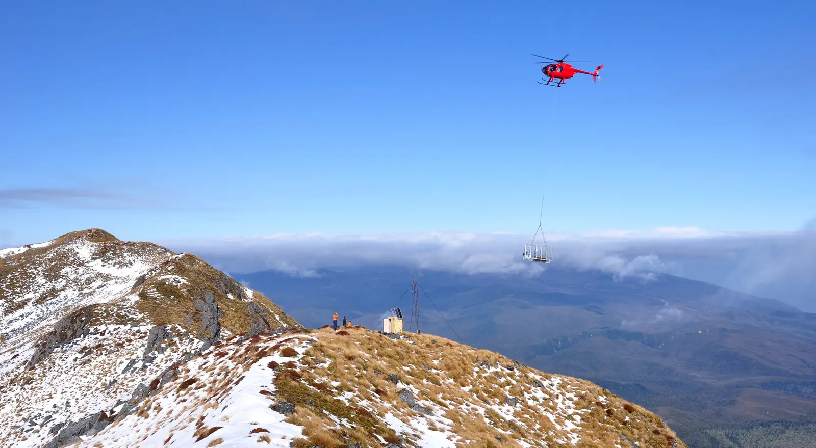
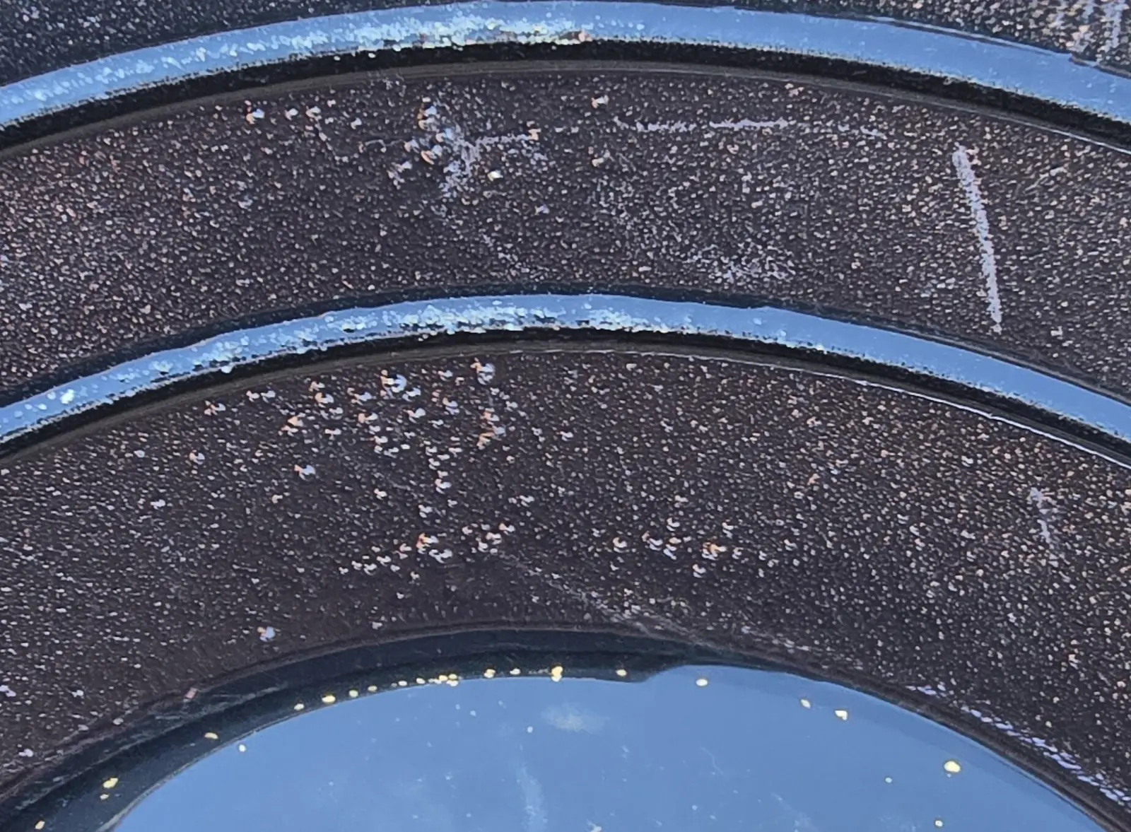
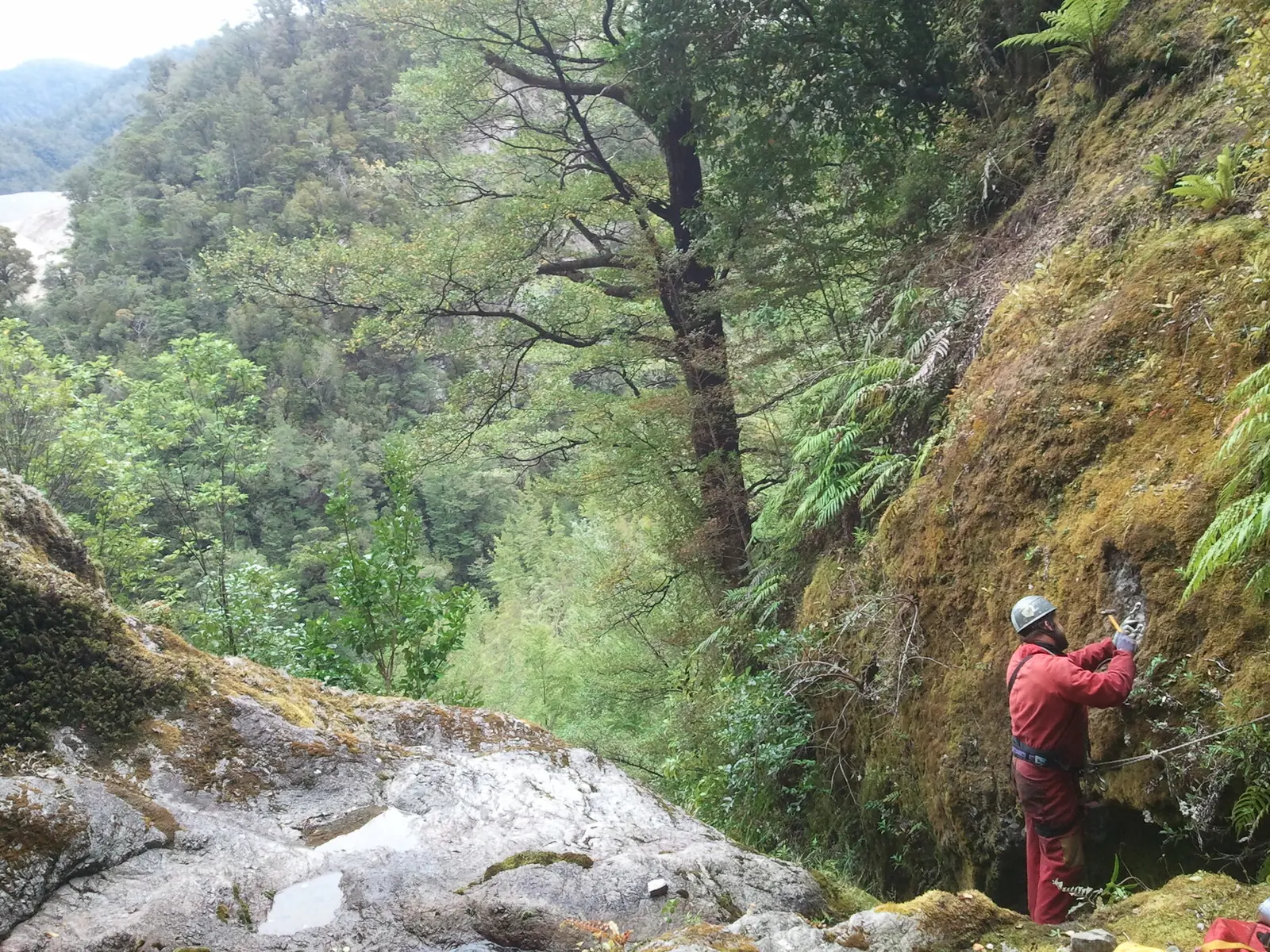
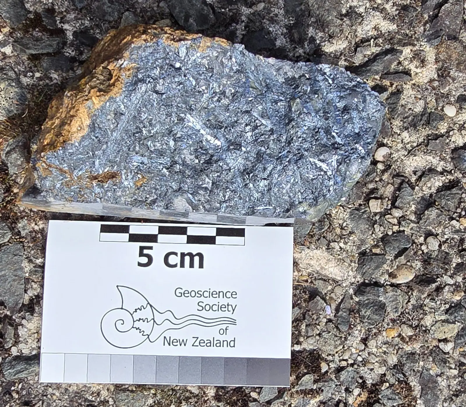
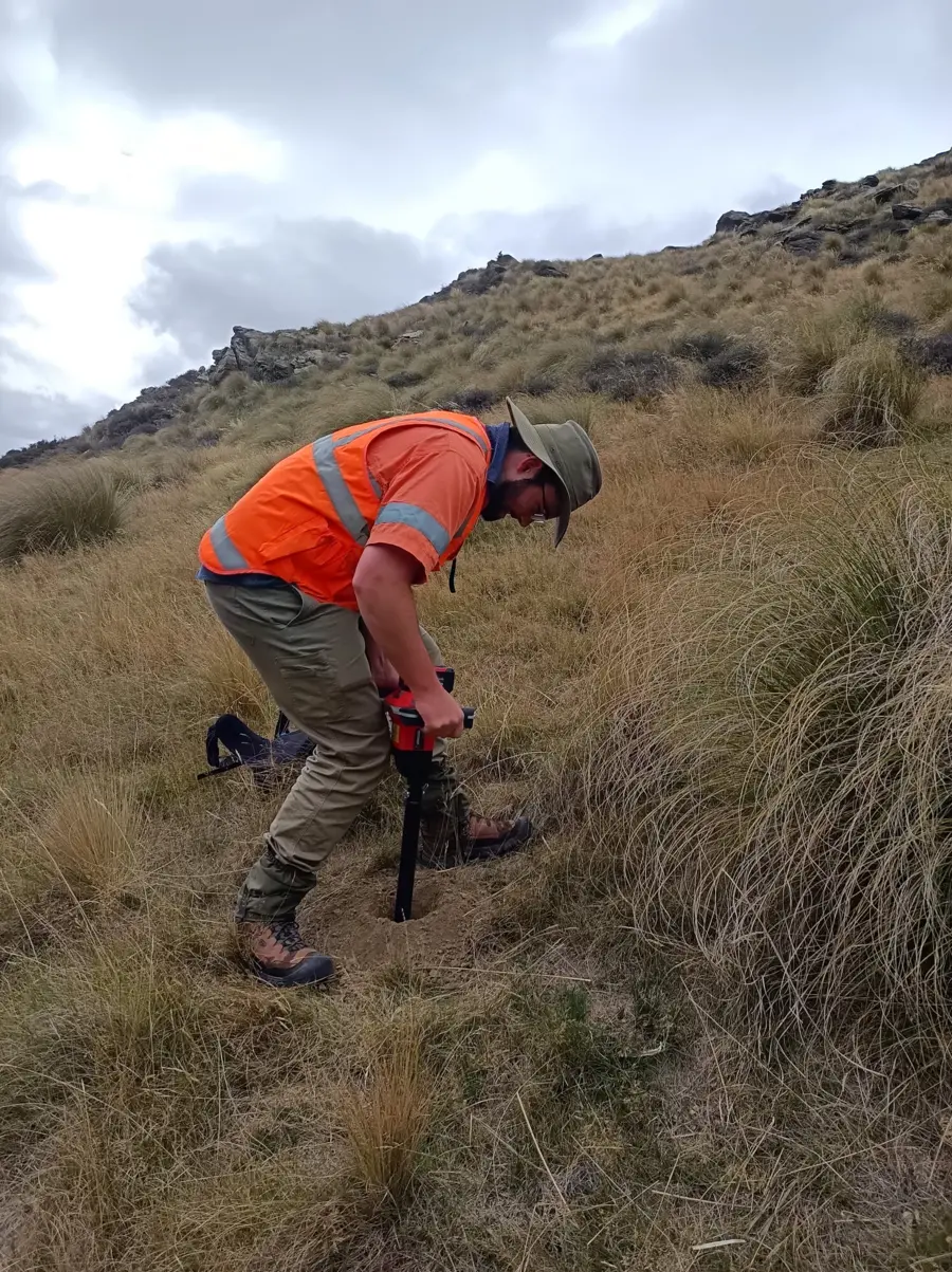
Geological mapping, geochemical sampling, trenching, test-pitting, RTK GPS survey control and practical field programme delivery.
04Data integration & geological modelling
Data compilation and validation, QGIS, geophysical interpretation, three-dimensional geological models and progressive target development.
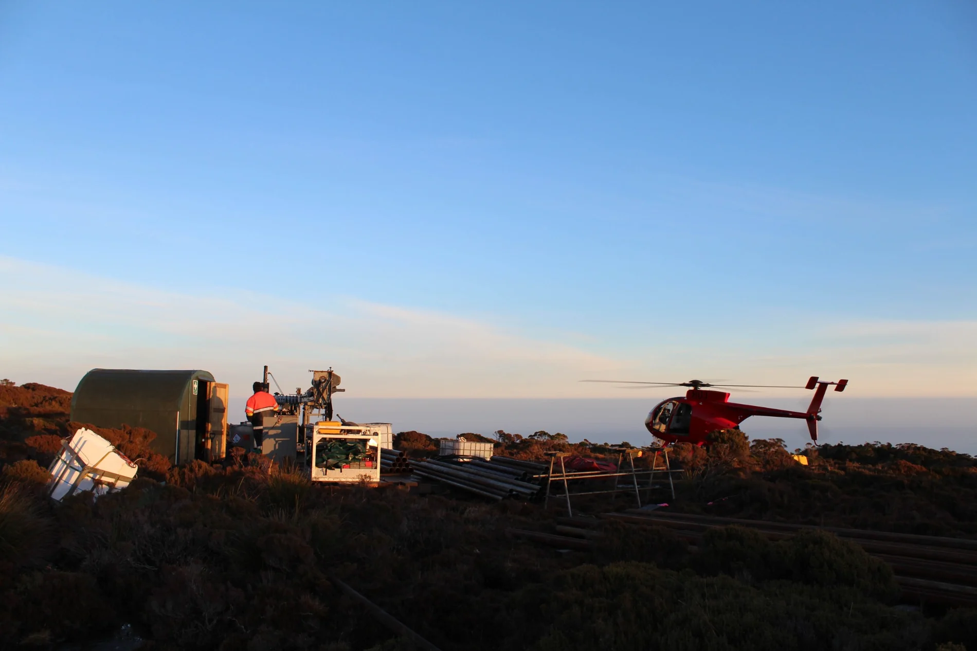
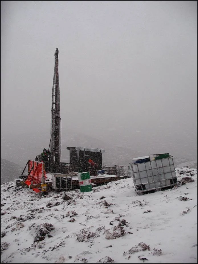
05Drilling, QAQC, resource definition & reporting
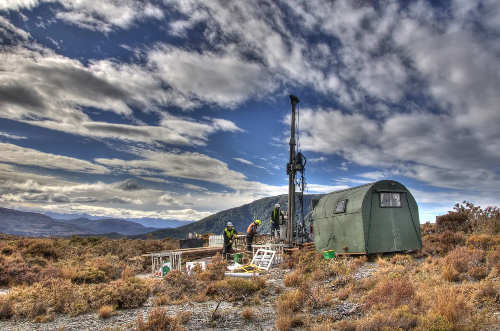
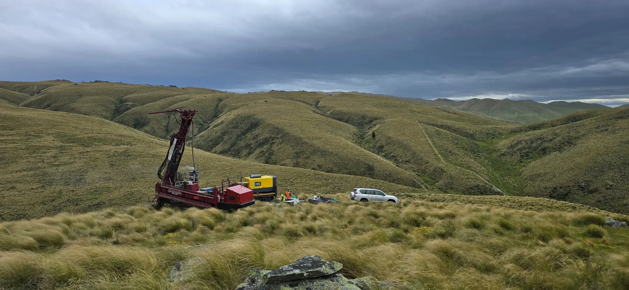
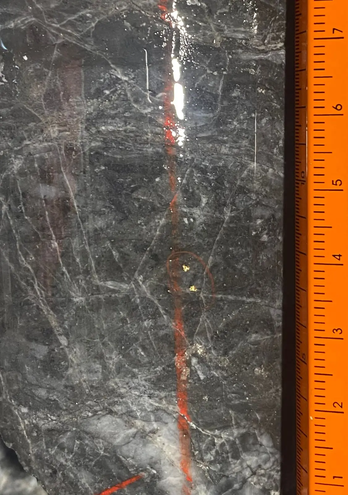
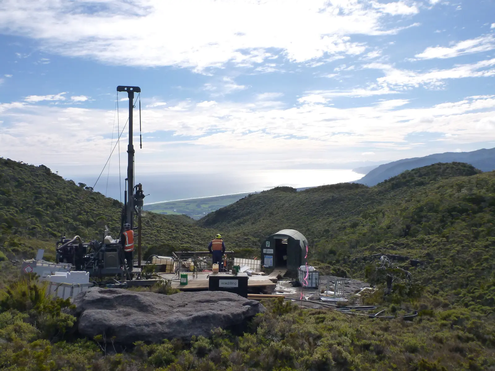
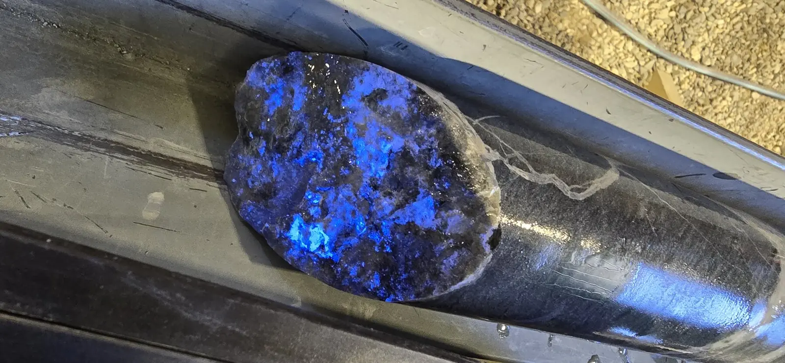
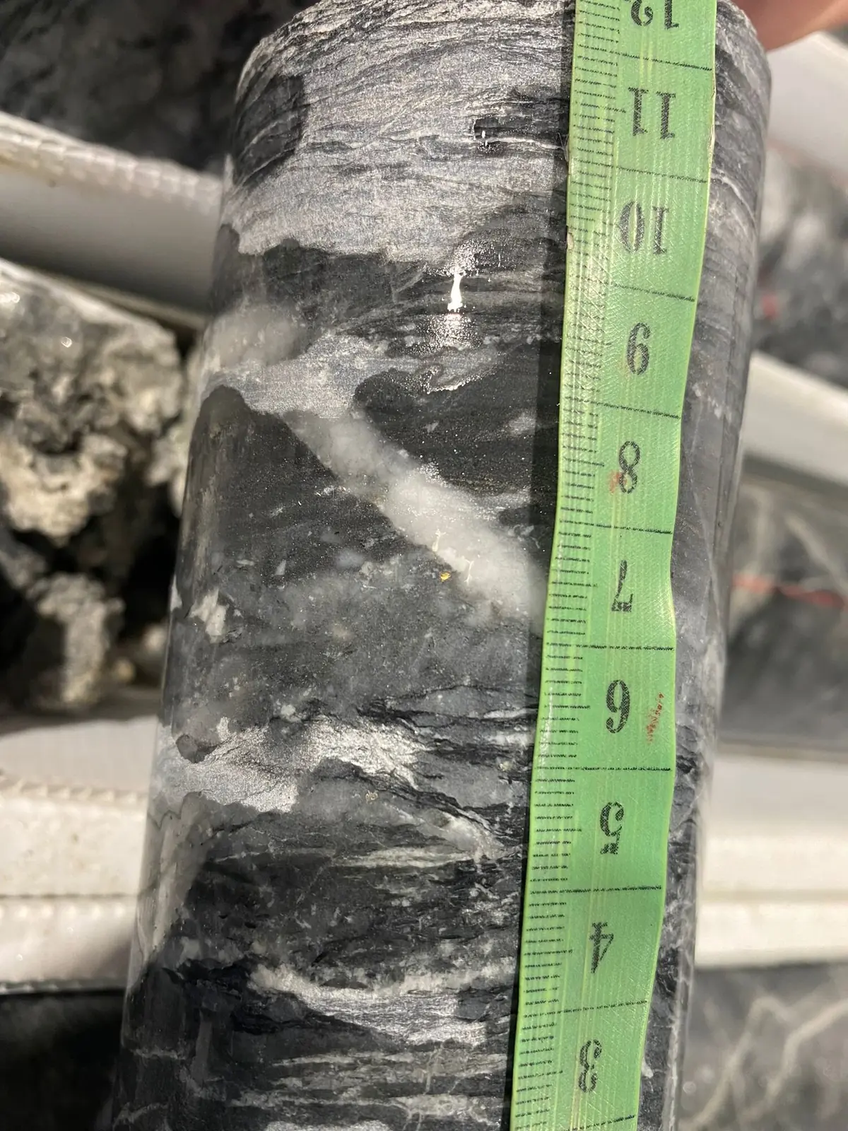
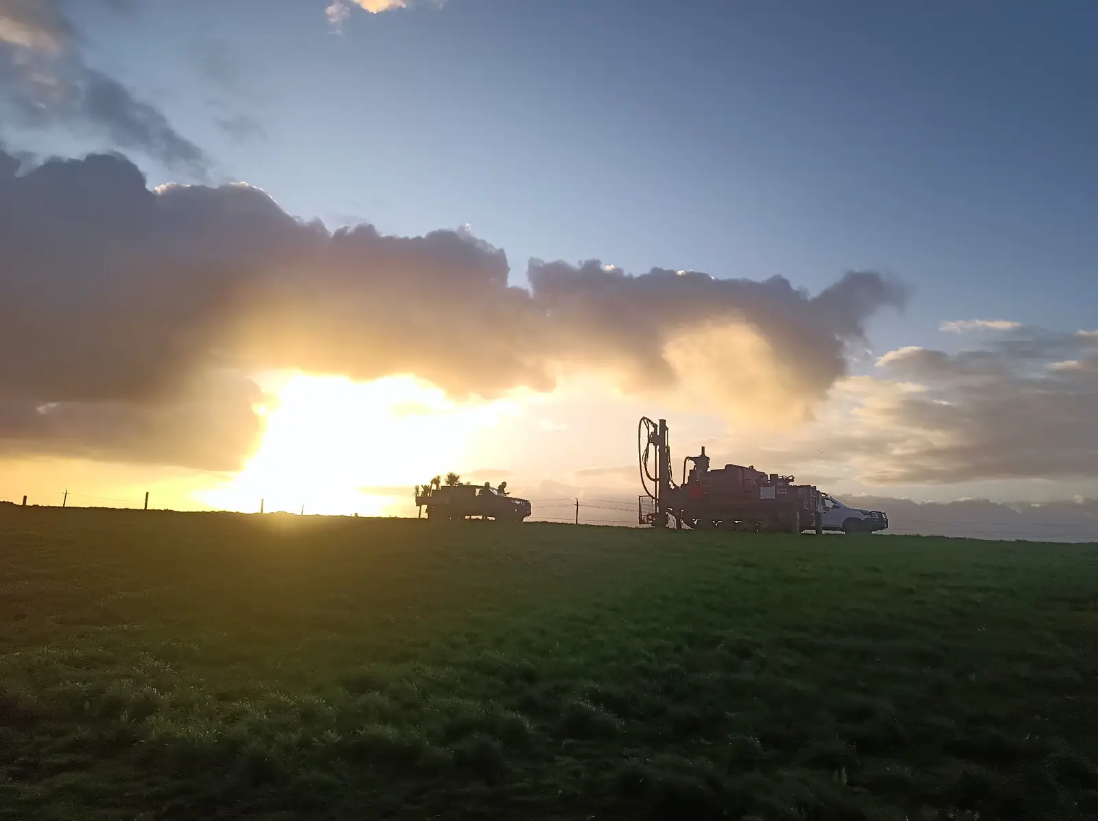
Drill planning and delivery, logging and sampling systems, assay QAQC, validated geological databases and support for resource estimation and JORC reporting.
06Feasibility, consenting & mine development
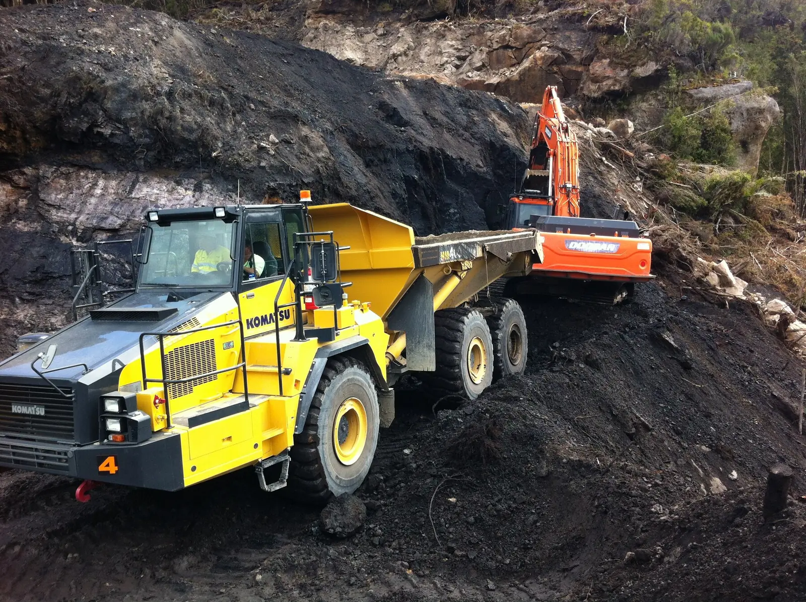
Feasibility and mine-planning inputs, resource consenting, land access and specialist coordination, supporting progress towards an operating mine.



 Critical Resources