South Island escarpment and exploration terrain

Projects

Experience across New Zealand’s mineral systems

Wairiri’s work spans five broad project types plus specialist historical-mining research, with support scaled from the first geological idea through exploration, evaluation, permitting, feasibility, consenting and development.

These summaries describe Wairiri’s areas of project experience rather than individual client projects. Work programmes are designed around the geology, project stage, location and decisions that need to be made.

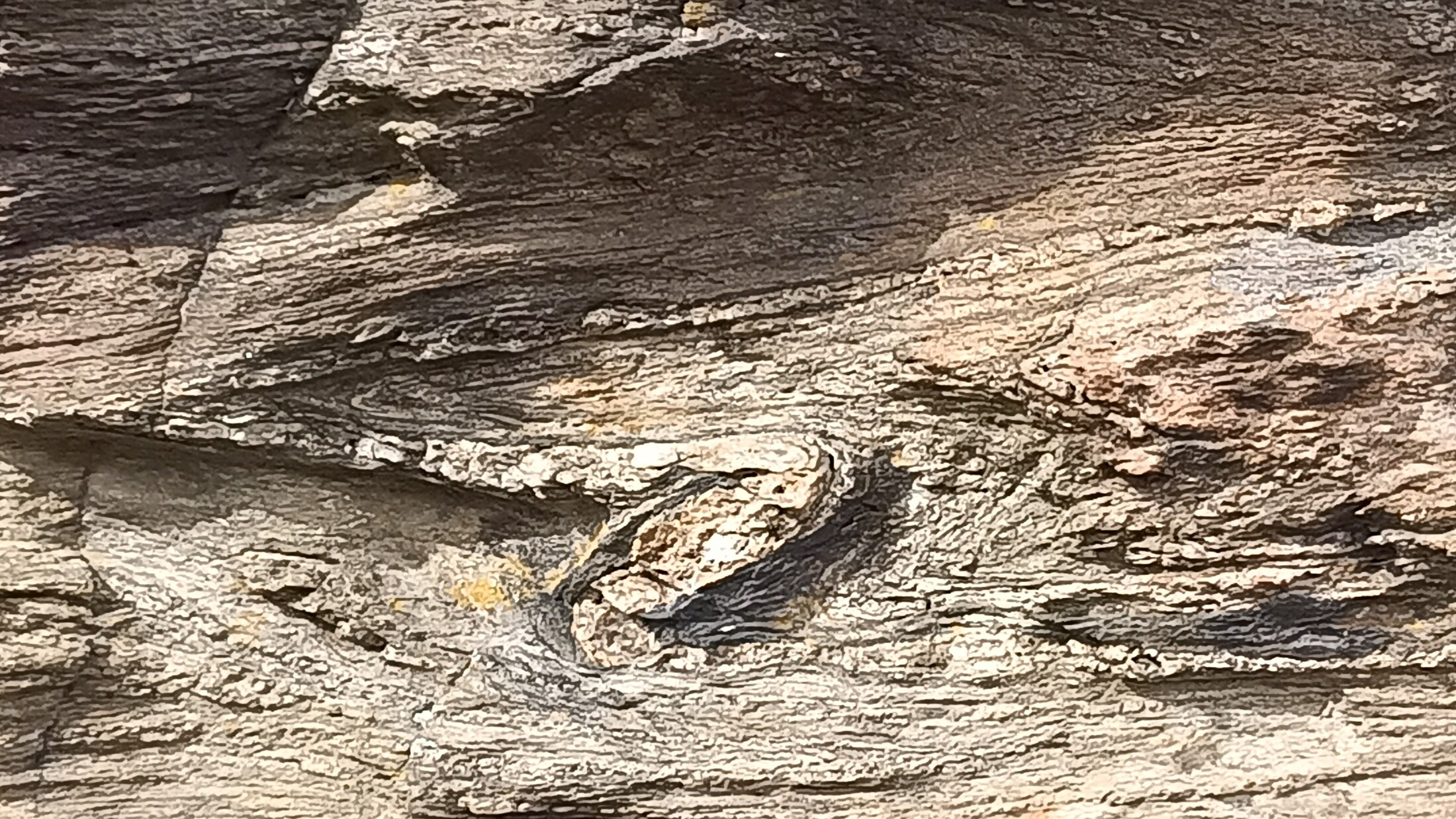
Tightly folded schist and quartz veining associated with structurally controlled mineralisation

Otago · West Coast

Orogenic gold and critical minerals (W & Sb)

Orogenic gold, tungsten and antimony exploration in Otago and the West Coast, integrating historic mine information with modern mapping, geochemistry, geophysics, drilling and three-dimensional geological interpretation.

  • Historic mine, production and exploration research
  • Structural mapping and geological interpretation
  • Rock, soil, channel and stream sampling
  • Scheelite identification and UV field techniques
  • Geochemistry, geophysics and three-dimensional target models
  • RC and diamond-drilling strategy, delivery and QAQC
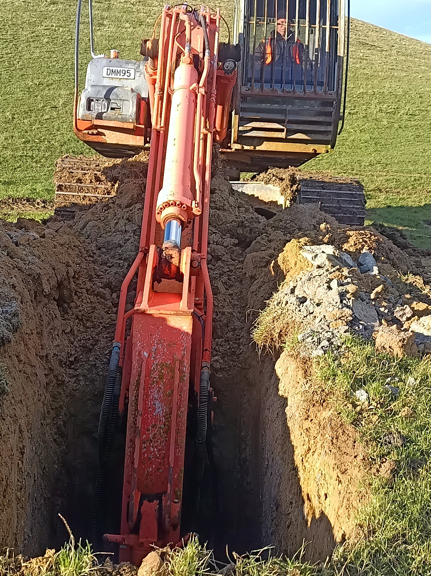
Excavator exposing an alluvial geological section in Otago

Otago · Southland · West Coast

Alluvial gold

Alluvial gold work across the South Island’s principal goldfields, from historic research and early target generation through drilling, geological interpretation, resource definition, feasibility, consenting and mine-development support.

  • Historic workings, drill records and opportunity review
  • Aircore, sonic, test-pit and bulk-sampling programme support
  • Wash logging, sampling, recovery and assay-data validation
  • RTK collar and field-feature survey control
  • Geological models, resource datasets and mining concepts
  • Permitting, land access, feasibility and consenting support
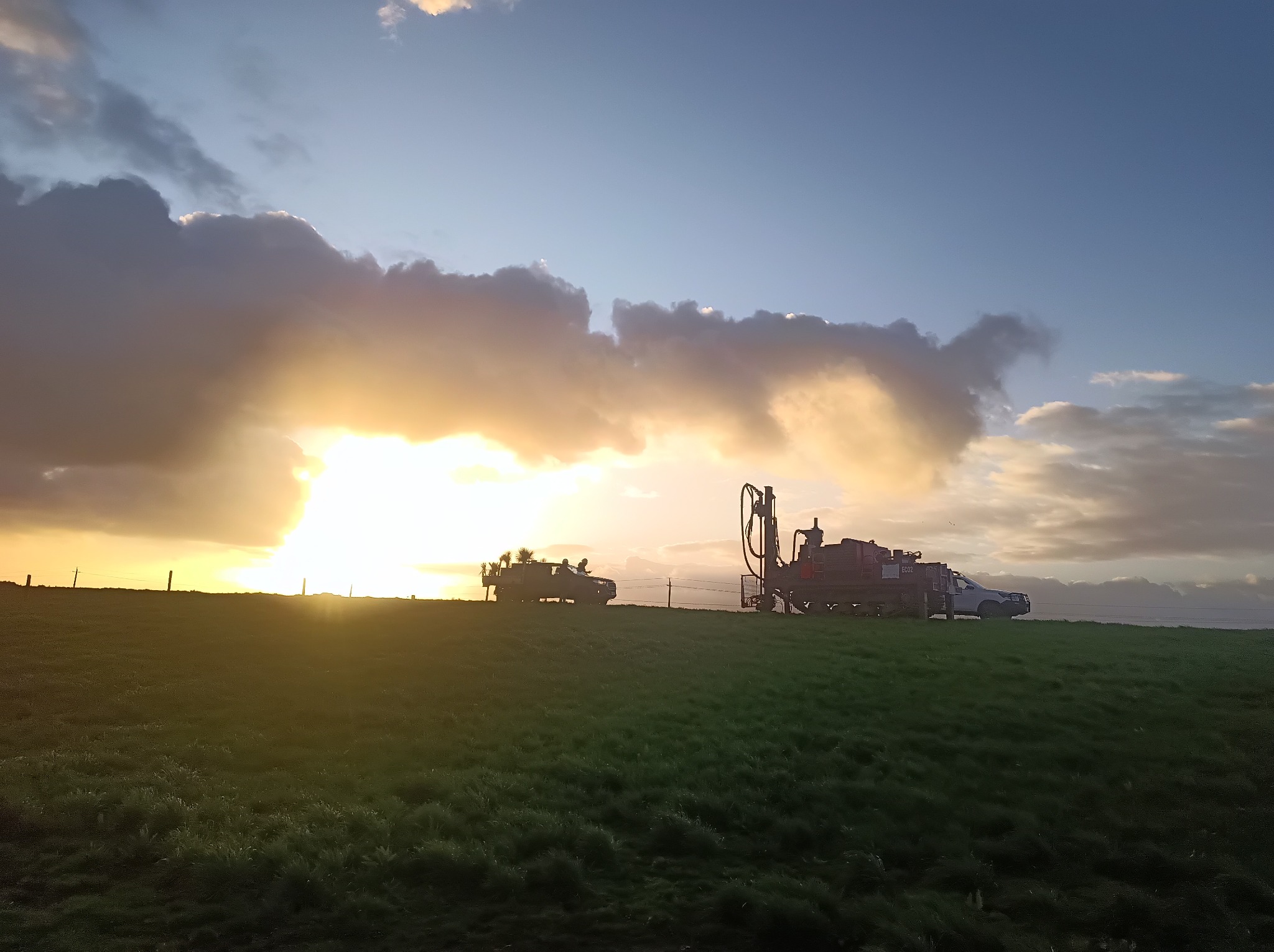
Aircore drill rig operating on a mineral exploration programme

West Coast · Southland

Mineral sands

Mineral-sands exploration support across the West Coast and Southland, combining practical drilling and field delivery with consistent sampling, spatial control, data management and technical reporting.

  • Regional targeting and staged programme design
  • Aircore drilling and field-geology support
  • Lithological logging, sampling systems and QAQC
  • RTK GPS survey control and GIS integration
  • Contractor coordination and safe field delivery
  • Permit, database and technical reporting support
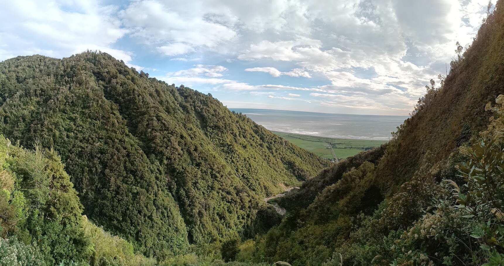
West Coast mountain and forest terrain near the Tasman Sea

West Coast · Southland

Intrusion-related mineralisation

Project generation and exploration support for intrusion-related mineral systems in the West Coast and Southland, progressing regional geological ideas into focused, testable exploration programmes.

  • Regional geological and metallogenic synthesis
  • Historic data, geochemistry and geophysics review
  • Mapping, sampling and target ranking
  • Permit-area and staged work-programme design
  • Access and logistics planning in challenging terrain
  • Drill targeting, field delivery and interpretation
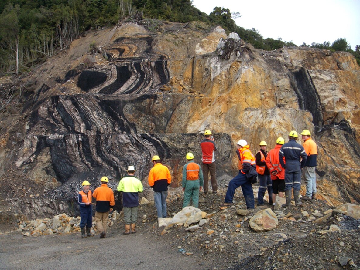
Field team inspecting folded coal seams in an exposed highwall

Exploration · Evaluation · Development support

Coal

Coal project support connecting historic information, field investigation, drilling and geological interpretation with the permitting, technical and development work required to test a project properly.

  • Historic exploration and mine-data compilation
  • Field reconnaissance and drilling support
  • Seam correlation and geological interpretation
  • Survey, GIS and model-ready data management
  • Permitting, technical studies and development coordination
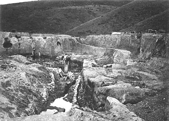
Historical photograph of mining at Gabriel’s Gully in Otago
Gabriel’s Gully, c.1875 — Herbert Deveril / Te Papa via Wikimedia Commons (public domain in New Zealand)

South Island · Research · GIS integration

Historical mining & archival research

Historical mining research that turns scattered reports, plans, newspapers, official records and field evidence into an auditable account of what happened, where it happened and what it means for modern exploration, heritage assessment or project planning.

  • AJHR, Papers Past, NZP&M open-file and mine-plan research
  • Historic maps, aerial photographs, survey information and local histories
  • Verbatim extracts, source registers, timelines and referenced appendices
  • Mine, water-race, working, plant and infrastructure histories
  • GIS location of reported workings, drill sites and historical features
  • Research for target generation, permit applications, archaeology and due diligence

Capability used across projects

GIS & dataQGIS, validation and integrated datasets
FieldworkMapping, sampling and programme delivery
RTK GPSSpatial control for field observations
ReportingPermit, technical and market material

Start a conversation

Have a project, permit or geological problem to work through?

Bring Wairiri in early to turn scattered information into a practical exploration pathway.

Discuss a project