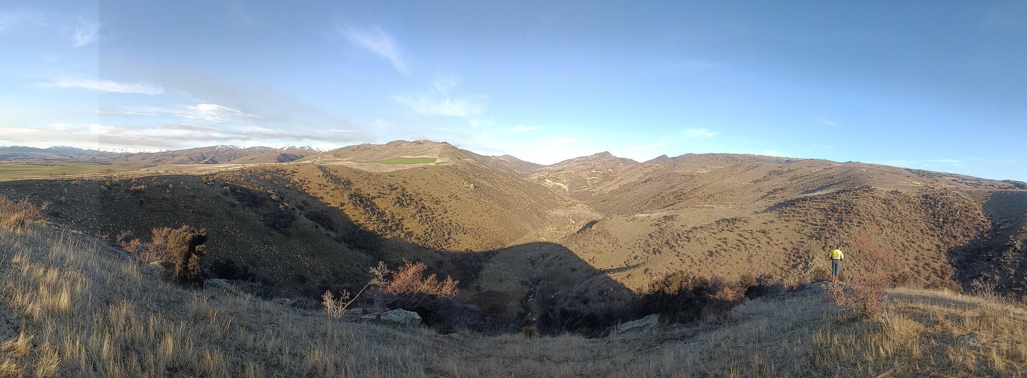
Exploration drilling in remote South Island terrain

Services

Alluvial gold exploration in New Zealand

Historical research, geomorphic interpretation, drilling and pitting programmes, bulk sampling, recovery data and staged evaluation for New Zealand alluvial gold projects.

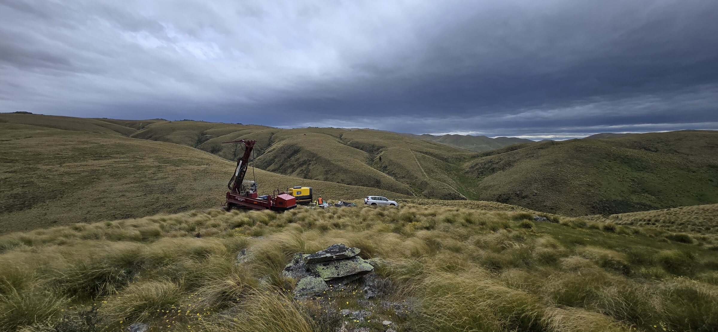
Regional South Island landscape being assessed for mineral potential
01

Project generation, historical research & evaluation

Archival and technical research, geological review, opportunity screening, tenure assessment and a clear strategy for testing an early-stage idea.

Typical support

  • Historic exploration, mine-record, newspaper and open-file research
  • AJHR mining reports, mine plans, historic maps, aerial photographs and technical archives
  • Source registers, referenced extracts, project timelines and evidence-gap reviews
  • Regional geology, mineral-system and prospectivity review
  • Permit, tenure, land-status and available-data screening
  • Geological concept development and target ranking
  • Early identification of access, terrain, environmental and safety constraints
  • Staged exploration strategies with clear decision points

OutcomeA defensible geological idea and a proportionate plan for testing it.
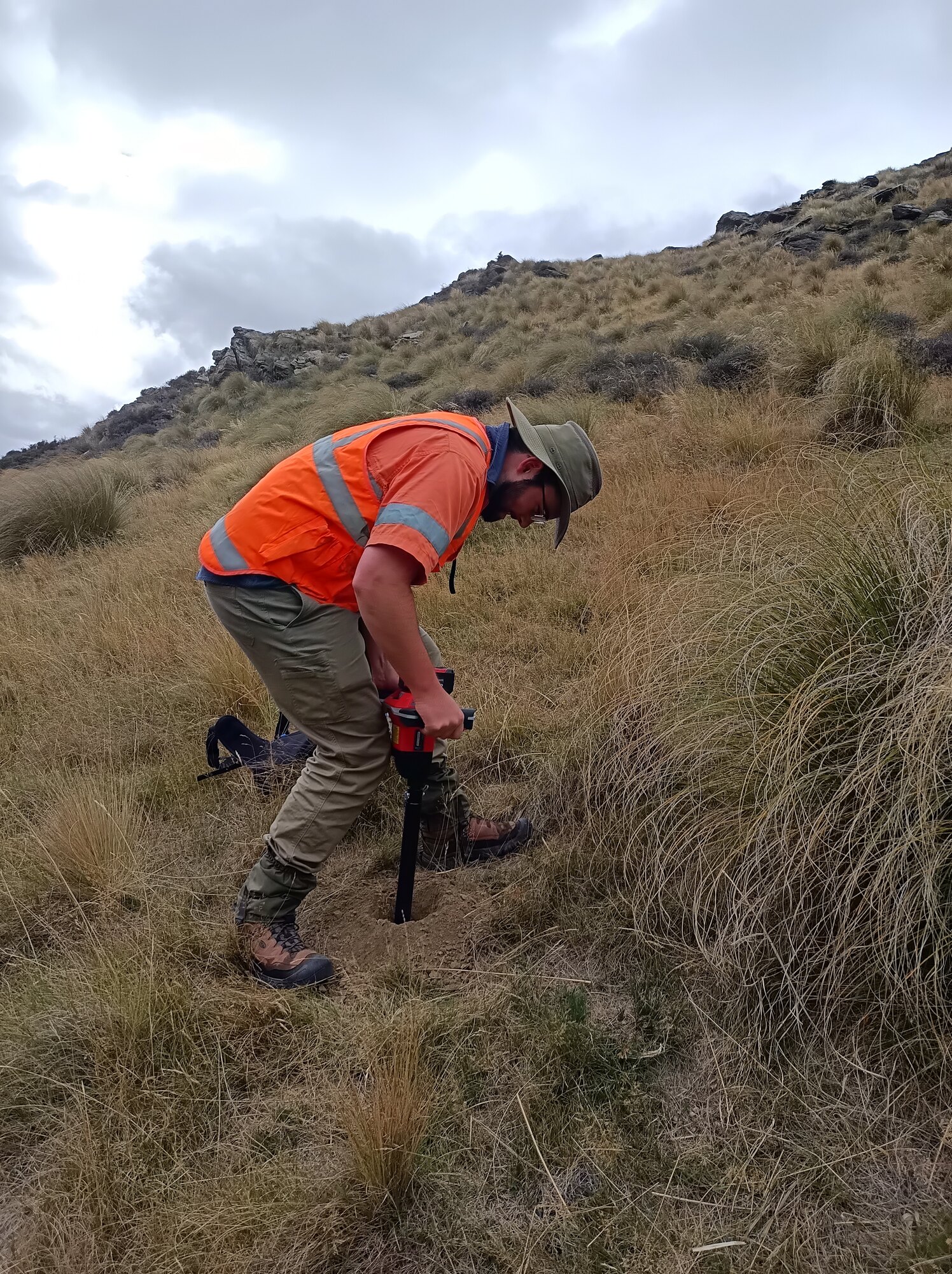
Geologist collecting a soil sample in Otago tussock country
02

Permitting & workable programmes

Prospecting, exploration and mining permit applications, staged work programmes, budgets, supporting evidence and regulator responses.

Typical support

  • NZPAM prospecting, exploration and mining permit applications
  • Work-programme design, minimum commitments, milestones and budgets
  • Geological rationale, technical capability and supporting evidence
  • Financial-capability material and programme cost development
  • Permit variations, extensions, annual reporting and compliance support
  • Responses to regulator questions and application feedback

OutcomeA credible programme that can be delivered in the field and defended technically.

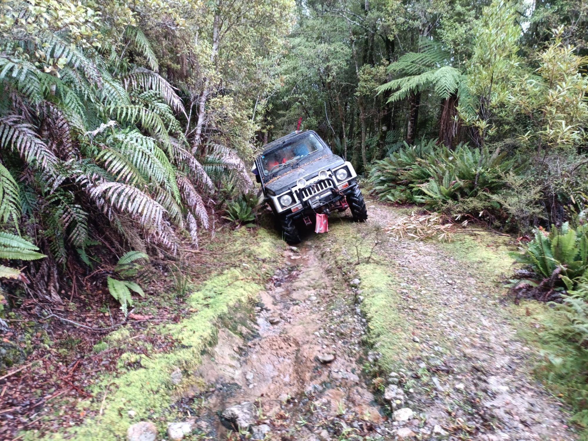
Four-wheel-drive field access through forest terrain during exploration
03

Field exploration, sampling & survey

Geological mapping, geochemical sampling, trenching, test-pitting, RTK GPS survey control and practical field programme delivery.

Typical support

  • Reconnaissance, geological and structural mapping
  • Rock-chip, channel, soil, stream-sediment and alluvial sampling
  • Trench, test-pit and bulk-sample planning and supervision
  • Portable XRF, UV lamp and other field-screening techniques
  • RTK GPS control for samples, collars, trenches and site features
  • 4WD access, remote logistics, contractor coordination and field documentation
  • Project-specific H&S planning, communications and emergency arrangements

OutcomeTraceable field observations and samples collected safely and consistently.

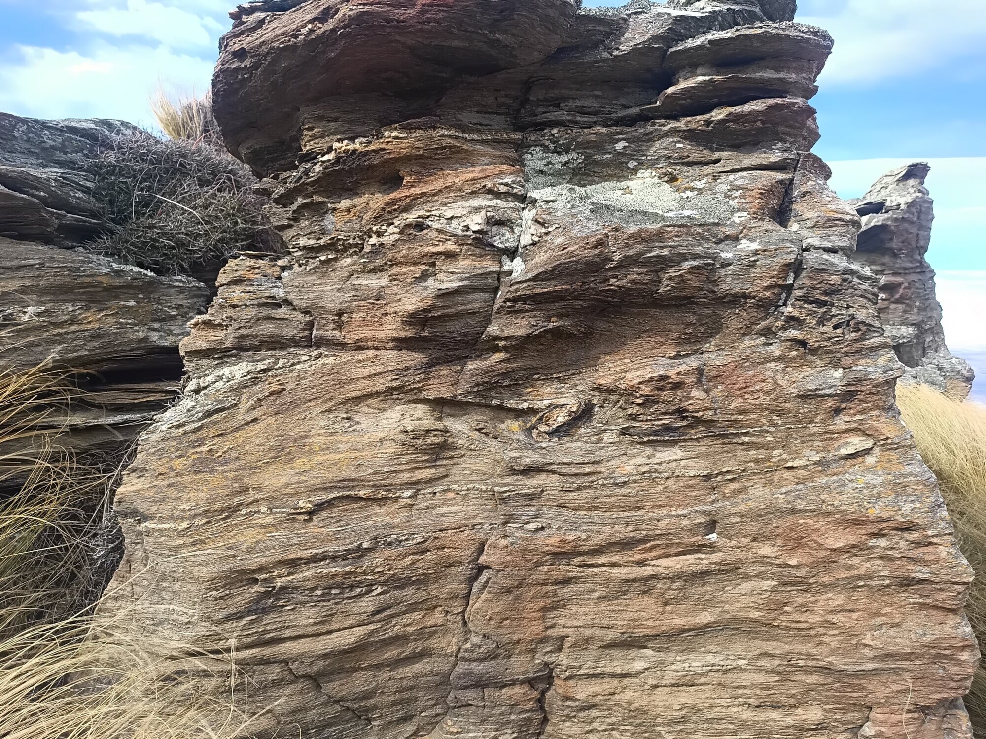
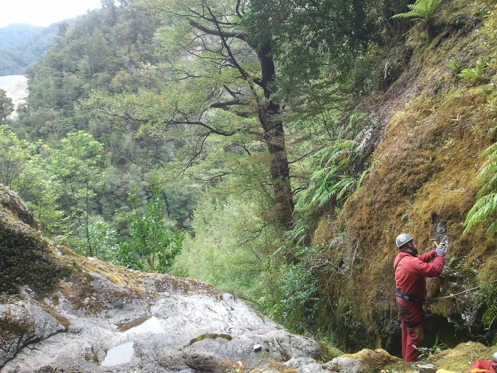
Folded and veined schist exposure used in geological interpretation
04

Data integration & geological modelling

Data compilation and validation, QGIS, geophysical interpretation, three-dimensional geological models and progressive target development.

Typical support

  • Historic data compilation, digitisation and source tracking
  • Collar, survey, geology, assay and recovery-data validation
  • QGIS mapping, spatial databases and field-data integration
  • Geochemical and geophysical data review and interpretation
  • Cross-sections, target models and three-dimensional geological models
  • Modelling-software-ready datasets and iterative target refinement

OutcomeA coherent geological model that shows what is known, uncertain and worth testing next.

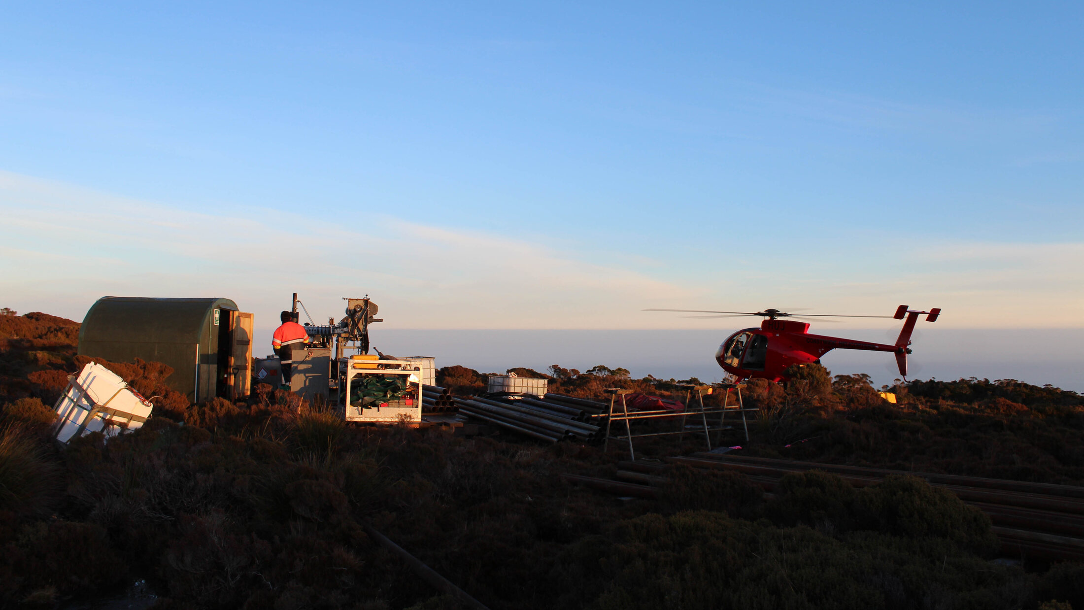
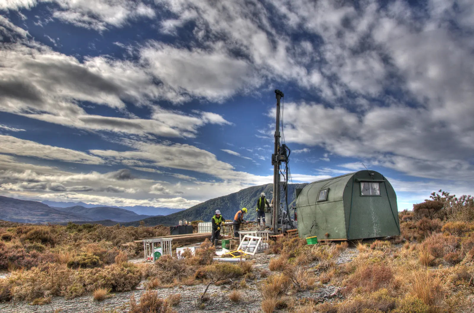
Helicopter-supported remote drill camp and exploration crew
05

Drilling, QAQC, resource definition & reporting

Drill planning and delivery, logging and sampling systems, assay QAQC, validated geological databases and support for resource estimation and JORC reporting.

Typical support

  • Drill strategy, hole design, collar positioning and set-out
  • Contractor scoping, mobilisation planning and rig liaison
  • On-site geological supervision, logging, photography and sample control
  • Core, RC and aircore sampling systems and chain of custody
  • Standards, blanks, duplicates, laboratory checks and QAQC review
  • Collar, downhole survey, assay, recovery and database validation
  • Validated, modelling-software-ready datasets for resource estimation
  • JORC Code-aligned Exploration Results and Mineral Resource reporting support
  • Competent Person coordination and supporting-document compilation
  • Table 1 drafting and evidence assembly for Competent Person review

Public reporting under the JORC Code must be based on and fairly reflect documentation prepared by the appointed Competent Person, with that person’s prior written consent.

OutcomeA complete, checked dataset ready for interpretation, resource estimation and technical reporting.

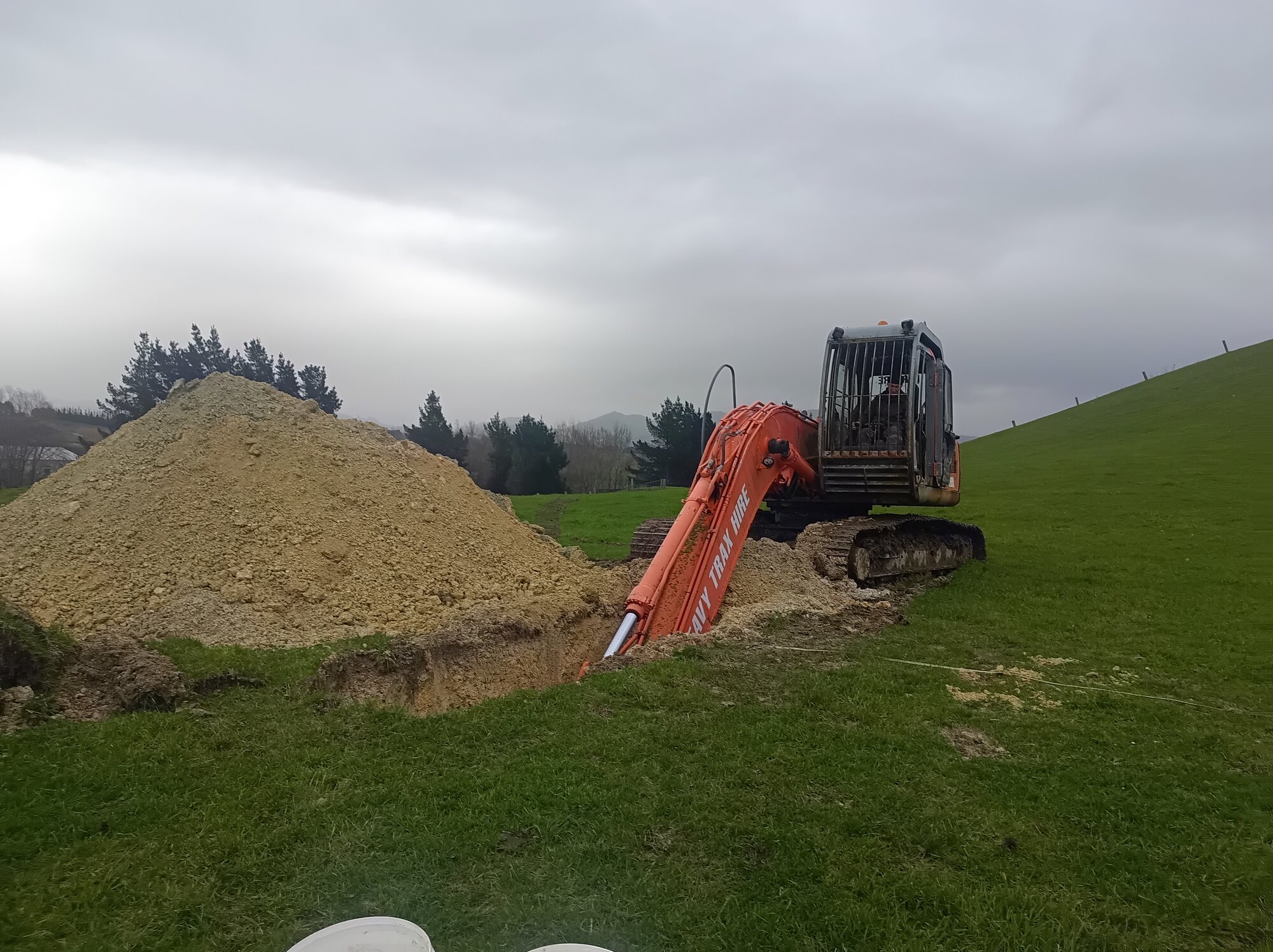
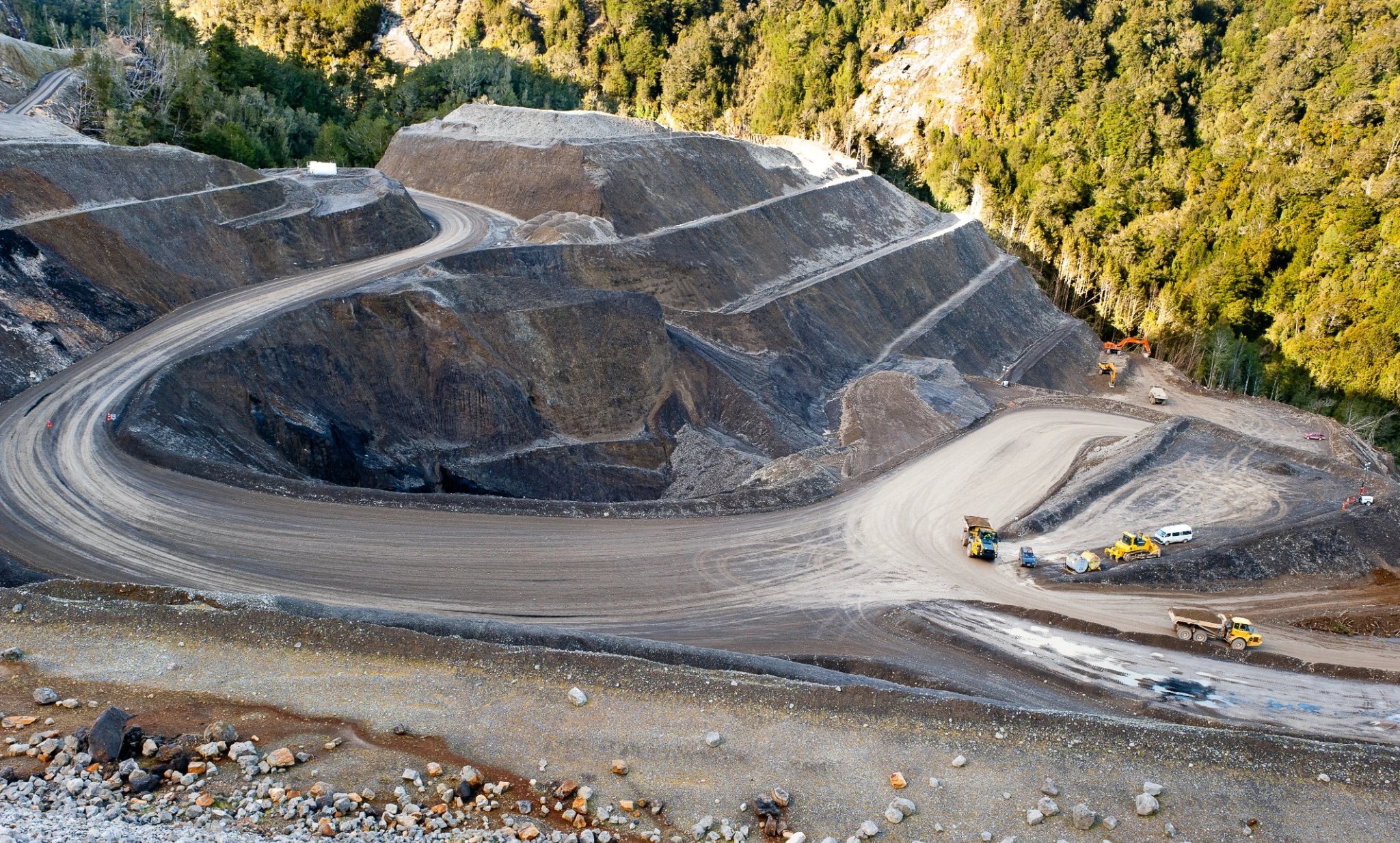
Excavator completing test work on pastoral land
06

Feasibility, consenting & mine development

Feasibility and mine-planning inputs, resource consenting, land access and specialist coordination, supporting progress towards an operating mine.

Typical support

  • Resource, recovery, mining-method and production-schedule inputs
  • Scoping and feasibility study coordination
  • Mine concepts, infrastructure requirements and economic-model inputs
  • Land-access discussions and specialist technical briefs
  • Environmental study coordination and resource-consent support
  • Mining-permit applications and regulator engagement
  • Operational implementation and health-and-safety planning inputs

OutcomeIntegrated technical evidence for deciding whether and how a project should proceed.

Historical research service

Recover the work that came before

New Zealand mineral projects often have information spread across official mining reports, newspapers, mine plans, historic maps, open-file reports, heritage records and private datasets. Wairiri can assemble that material into a checked, traceable body of evidence before new field expenditure begins.

The work is geological as well as historical: reported reefs, alluvial leads, shafts, water races, dredging areas, drill holes and production accounts are compared with modern topography, geology, permits and field observations. Conflicts and uncertainty are recorded.

Research and extraction

  • AJHR and other official mining reports
  • Papers Past newspapers and period publications
  • NZP&M open-file reports, data packs and mine plans
  • Historic maps, aerial photographs, survey and land records
  • Production, ownership, methods, infrastructure and water histories

Useful deliverables

  • Referenced narratives, timelines and verbatim appendices
  • Source registers with links, dates and page references
  • Georeferenced workings and historical features in GIS
  • Evidence-gap and conflicting-source registers
  • Inputs to targeting, permit applications, archaeology and due diligence

Field delivery in practice

Practical experience across the project lifecycle

Wairiri combines geological expertise and judgement with practical delivery—from field mapping and remote-access drilling through to feasibility and mine-development support. Independent specialists can be added to match the scale and stage of the work.

Health & safety capability

Competency and field controls integrated with delivery

Wairiri brings extractives certificates of competence, project-specific planning and practical coordination across fieldwork, drilling, earthworks and mine-development programmes.

Health & safety approach

RTK GPS survey capability

Survey control belongs inside the programme

Wairiri can survey drill collars, samples, trenches, test pits, access routes and other field features so spatial control flows directly into GIS, sections and geological models. The required method and accuracy are agreed for the decision being made.

Start a conversation

Have a project, permit or geological problem to work through?

Bring Wairiri in early to turn scattered information into a practical exploration pathway.

Discuss a project